 CCBAE
CATÁLOGO COLECTIVO DE LA RED DE BIBLIOTECAS DE LOS ARCHIVOS ESTATALES
CCBAE
CATÁLOGO COLECTIVO DE LA RED DE BIBLIOTECAS DE LOS ARCHIVOS ESTATALES
Todas las obras relacionadas: Cartas náuticas - Gran...
Sorted by:
Title
")
") Author
Author
") Fecha de Publicación
Place
Relevancia
Fecha de Publicación
Place
Relevancia


-
-
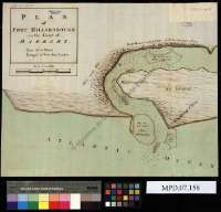
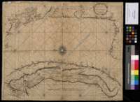
 The sea coasts of France From Olone to cape Machiacaca in Biscay
- Seller, John, fl. 1658-1698
The sea coasts of France From Olone to cape Machiacaca in Biscay
- Seller, John, fl. 1658-1698
London : Sold by Ri Mount at the Postern on great Tower Hill, [1702?]